
In 2006, major environmental works at the former Lorong Halus Dumping Ground included a buried cut-off wall about 6.4 kilometres long, 18 metres deep and 0.8 metres thick. The wall was designed to help prevent contaminated water from the closed landfill from reaching Serangoon Reservoir. The figures and programme are documented by Singapore’s Centre for Liveable Cities (CLC).
This is a different event from the 31 March 1999 closure of Lorong Halus as an operating landfill. Shutting a disposal site stops new dumping but does not remove historic refuse beneath the surface. Rainwater and groundwater can continue to interact with older waste, producing contaminated liquid called leachate. Protecting the reservoir required a system: an underground barrier, leachate-collection works, treatment through a constructed wetland, and other water-quality interventions.
For Punggol readers, this explains an invisible part of the modern waterfront. The visible parks and bridges do not alone account for the water-quality protections along Serangoon Reservoir. It also reminds us that Lorong Halus is east of the river, rather than a former landfill beneath today’s Punggol HDB blocks.
Contents: the invisible environmental infrastructure
- The 2006 milestone in one paragraph
- Why 1999 did not settle the water problem
- The location beside Serangoon Reservoir
- The wall’s three reported dimensions
- A correct way to convert 6.4 kilometres
- Why the cut-off wall goes underground
- The geological problem: water finds routes
- Why a wall without collection would be incomplete
- Where collection wells fitted
- The constructed wetland was a treatment system
- How large is 0.09 square kilometres?
- Bioremediation and phytoremediation explained
- The 2011 reservoir changed the stakes
- Other work was needed after the wall
- What ‘up to three metres’ means
- A lesson learned from earlier reservoir projects
- How engineers worked with the future town in mind
- The difference between a public park and an operating facility
- Why the site is an example of environmental memory
- What can and cannot be observed during a walk
- A classroom maths example that stays hypothetical
- A geography exercise on connected waters
- Frequently asked questions
- Evidence sources and related history
The 2006 milestone in one paragraph
The CLC study says that after Lorong Halus was covered with earth, major works began in 2006 to manage contaminated leachate. One major component was a long, deep cut-off wall separating the former dumping ground from the reservoir. Collection systems were installed to intercept contaminated water and direct it for treatment.
The date refers to the period of major works described in the research. It should not be interpreted as proof that every metre of wall was completed on one particular day in 2006. Building a long underground system is a staged operation, and the underlying publication does not give a day-by-day construction diary.
Why 1999 did not settle the water problem
Lorong Halus stopped operating as a dumping ground on 31 March 1999, but deposits accumulated across decades remained in the earth. Covering a landfill can reduce some surface exposure; it does not instantly erase soluble substances in the buried material.
Leachate is the liquid that can form when water passes through waste and dissolves or carries contaminants. It is not the same as all ordinary groundwater, nor does every patch of soil have identical contamination. The challenge was to control pathways by which polluted water might travel from a former disposal site into an important freshwater system.
The location beside Serangoon Reservoir
The former landfill lies on the eastern bank of Serangoon Reservoir, across water that defines part of Punggol’s wider environment. This is a connected water landscape, even though the landfill and the Punggol housing town have different administrative geography.
A catchment does not respect a convenient label on a street map. Water can move through soil, surface channels and drainage networks. That is why engineers examine physical pathways and barriers rather than relying on where a town boundary happens to be drawn. Explaining this relationship makes Lorong Halus relevant to Punggol without incorrectly placing it under a residential precinct.
The wall’s three reported dimensions
CLC describes the cut-off wall as 6.4 kilometres long, 18 metres deep and 0.8 metres thick. Length, depth and thickness are different measurements. The length follows the protective alignment; depth refers to the buried vertical reach; thickness is the barrier’s cross-sectional dimension.
A casual description of an ’18-metre wall’ can mislead readers into imagining something 18 metres high above ground. This wall was buried. Much of its environmental contribution is not visible to someone walking along the wetland or looking at the reservoir. The documented dimensions refer to the engineering intervention, not a tourist landmark.
A correct way to convert 6.4 kilometres
Multiplying 6.4 kilometres by 1,000 metres per kilometre gives 6,400 metres. That conversion is exact at the precision of the reported length. In a basic exercise, a pupil can also identify that 0.8 metres is 80 centimetres.
Do not use those figures to invent a confirmed volume of concrete or construction material. Multiplying nominal dimensions may help illustrate geometric scale, but a real underground wall can have changes in alignment, depth, overlaps and materials. Without as-built engineering quantities, an exact volume or cost would be a fabricated project statistic.
Why the cut-off wall goes underground
The contaminant route of concern included water moving through soil and below ground. A surface fence or decorative retaining wall would not address that flow. The buried cut-off structure was intended to interrupt movement between the landfill and the reservoir.
Its effectiveness depends on geological conditions, continuity and associated collection and monitoring measures. The CLC diagram helps explain the principle, while the wider study makes clear that the barrier was not the sole defence. Readers should resist language suggesting that one wall makes all water movement impossible in every part of the catchment.
The geological problem: water finds routes
Groundwater can move along permeable layers and through interconnected pore spaces. Engineers therefore need information about soil, sediment, hydraulic gradients and the locations of potentially contaminated material. A cut-off wall can change preferred pathways, but must be planned alongside where water will accumulate and how it will be handled.
This is a general engineering explanation, not a substitute for Lorong Halus’s detailed soil investigation. The CLC study reports the resulting protection system; it does not publish a borehole log for every metre. A school research paper should cite the mechanism without inventing groundwater pressure or an exact flow rate from the site.
Why a wall without collection would be incomplete
If a barrier stops leachate from travelling in one direction, the water may need somewhere else to go. CLC describes a network of leachate-collection systems along the landfill edge. Water was collected and channelled to a wetland for pretreatment before discharge into sewers.
This matters because the project was not simply about sealing something off. It was an integrated interception-and-treatment system. A diagram can show the stages as former waste → contaminated water → interception or collection → pretreatment → managed downstream route. It must not claim that untreated leachate was deliberately released directly into a drinking-water reservoir.
Where collection wells fitted
The CLC report includes a schematic showing subsurface collection wells and the cut-off wall. The diagram labels wells extending 12 metres underground, illustrating how the collection system reaches below the visible surface.
A schematic is a teaching aid. It should not be transformed into a claim that every well on the real site had an identical depth or that anyone can locate the wells by searching the shoreline. When a diagram supplies a representative section, historians and students must preserve that limitation in captions.
The constructed wetland was a treatment system
The project incorporated a wetland-based process to help treat contaminated water collected from the landfill. CLC describes an area of approximately 0.09 square kilometres set aside for a bio-remediation wetland. Plants and associated environmental processes form part of the treatment system.
This does not mean the site was merely landscaped to look green. Its treatment function was tied to water-quality protection. Nor does it mean plants by themselves can remove every contaminant under every condition. Good public explanations show the engineered collection and treatment stages together, rather than attributing an entire protection system to a scenic reed bed.
How large is 0.09 square kilometres?
The conversion from square kilometres to hectares is 100 to one. Therefore 0.09 km² = 9 hectares, or 90,000 square metres. That is the wetland treatment area stated in the historical study, not the footprint of the whole former dumping ground.
CLC places the wider former landfill at approximately 2.34 square kilometres, equal to 234 hectares. Comparing 9 hectares with 234 hectares illustrates that the engineered treatment facility was a relatively small but strategic part of a much larger historic disposal landscape. It is not correct to relabel the entire landfill as nine hectares.
Bioremediation and phytoremediation explained
Bioremediation refers to using biological processes to transform, remove or immobilise certain contaminants. Phytoremediation places plants within such environmental management, often using roots, associated microorganisms and physical filtration. The precise suitability of any process depends on the substances present and operating conditions.
In this case, the key point is that the Lorong Halus wetland was deliberately engineered for water treatment, not simply planted for ornament. A history chapter can explain the scientific principle while leaving chemical concentrations and treatment efficiencies to laboratory records and PUB’s technical data. Publishing a guessed removal percentage would falsely imply a measured performance result.
The 2011 reservoir changed the stakes
Punggol’s landscape also changed when the two rivers were turned into reservoirs and Punggol Waterway opened in 2011. A contaminated riverbank next to a freshwater reservoir raises different management concerns from a previously tidal or more heavily polluted river.
CLC links the landfill rehabilitation to the decision to create Punggol and Serangoon reservoirs. The chronology should distinguish the earlier protective works from the later public opening of the reservoir and waterway amenities. Saying ‘the wall was built when the park opened’ compresses several years of planning and remediation into one event.
Other work was needed after the wall
The CLC study reports that contamination could still enter from groundwater areas outside the designated landfill boundary. Consultants therefore advised further measures, including dredging of polluted river sediment up to three metres deep in places along Serangoon River.
This is evidence of iterative engineering. A wall can be effective along its design alignment while contamination reaches the river from other sources or pathways. It would be inaccurate either to call the wall useless or to claim it solved every problem. The correct conclusion is that environmental protection required multiple stages, monitoring and responses to observed conditions.
What ‘up to three metres’ means
The phrase ‘up to three metres’ indicates a maximum reported extent, not a uniform excavation depth across the entire river. A student who writes that the whole reservoir was dredged three metres deeper would misstate the engineering record.
The same discipline applies to the wall: a typical depth and a length are not a map of every geological variation. Precise expressions help protect history from exaggerated numbers. Source-based writing is not just about having figures; it is about attaching the correct unit, quantity and qualification to each figure.
A lesson learned from earlier reservoir projects
CLC’s account refers to lessons from Kranji Reservoir, where contaminated material was not dredged in the earlier project and organic leaching persisted. This historical comparison helped inform the advice to remove affected sediments rather than rely on water treatment alone.
The point is not that every reservoir faces the same conditions. It is that engineering institutions learn from earlier results and may change methods when a new site has related risks. A historian can describe the documented lesson while not assuming that the geology, contaminants or operating conditions were identical in every reservoir.
How engineers worked with the future town in mind
The landfill’s environmental legacy had to be handled in parallel with Punggol’s residential development and water-based public amenities. Designing an appealing waterfront was not simply a matter of painting railings, landscaping banks or constructing attractive bridges.
The difficult preparatory work was beneath or beside the surface. The wall, wells, treatment wetland and sediment measures supported the possibility of a safer water environment. That makes the engineering socially important even for residents who never see its underground structures. The story also shows why future land use shapes environmental remediation decisions.
The difference between a public park and an operating facility
PUB describes Lorong Halus Wetland as a place where water passing through the old landfill is collected and treated before it can affect the reservoir. The public can learn about wetland ecology and water sustainability through designated trails and educational material.
That does not create unrestricted access to treatment beds, buried engineering, maintenance areas or water edges. The park’s public areas and the technical infrastructure serve different functions. Any current site visit should follow PUB’s published guidance rather than old maps or assumptions about where machinery is located.
Why the site is an example of environmental memory
Visitors may encounter a green wetland and think of nature returning to a landscape. The deeper history includes a former estuary, decades of refuse disposal, a formal 1999 closure, then years of protective works and park development. None of these eras should erase the others.
The story is not a simple transformation from bad to good overnight. It involves environmental costs, institutional decisions and continued management. A well-written heritage caption can celebrate rehabilitation while remembering the waste and engineering underneath. That is more accurate—and more useful to future planners—than romanticising a reclaimed landscape.
What can and cannot be observed during a walk
A person can see the wetland, paths and surrounding water, but cannot directly measure the cut-off wall’s length or verify a leachate concentration by looking at the plants. Observation answers questions about visible features; documentary and laboratory records answer different questions.
School assignments should therefore make a two-column distinction: ‘seen on site’ and ‘established by research’. The wall dimensions belong to CLC’s published study. Plant species can be observed only when identified properly. Water chemistry requires authorised testing and appropriate safety arrangements, not a guess based on colour or smell.
A classroom maths example that stays hypothetical
Imagine a rectangular wall model exactly 6,400 metres long and 18 metres deep. Its notional vertical face would have an area of 6,400 × 18 = 115,200 square metres. That is a geometric illustration using the reported nominal dimensions, not an official engineered area calculation.
The real alignment curves, geological depth requirements and possible overlaps are not represented by a simple rectangle. A student should explicitly state the assumption and avoid treating the result as the project’s verified surface area or quantity of construction material. Accuracy is not only getting the multiplication right; it is also stating what the model leaves out.
A geography exercise on connected waters
Place Lorong Halus on the eastern bank of Serangoon Reservoir and Punggol on the other side of the wider water landscape. Draw an arrow for the risk pathway that engineers were managing, rather than claiming to chart a measured groundwater flow that has not been supplied.
Next, add a legend showing ‘documented location’, ‘schematic water pathway’ and ‘subsurface protection works’. This lets students explore how a landfill and a housing town can be linked by hydrology without saying they are physically the same site. It also improves their ability to read environmental impact documents in later studies.
Frequently asked questions
Did Lorong Halus close in 2006? No. Active dumping ended in 1999; 2006 is when major remediation works are described. Was the wall visible above ground? It was buried. How long was it? About 6.4 km according to CLC. How deep? The study reports 18 m.
Does the wetland replace the wall? No; interception, collection and treatment are connected parts of the system. Was all polluted sediment removed in exactly one operation? The research describes additional dredging up to 3 m in affected locations but not a universal date or depth. Is Lorong Halus within the Punggol HDB town? The wetland lies east of Serangoon Reservoir and is environmentally linked to Punggol.
Evidence sources and related history
The figures, construction sequence and additional remediation are in Centre for Liveable Cities, Punggol: From Farmland to Smart Eco-Town (2021), chapter 2, printed pages 24–26. The PUB Lorong Halus Wetland page describes the present-day water-treatment role. NEA’s Semakau Landfill page gives background to the earlier closure and offshore disposal transition.
For the separate 1999 milestone read why Lorong Halus stopped operating as a landfill; for environmental recovery read the broader Punggol–Lorong Halus landscape history, Punggol river rehabilitation and the Punggol history directory. The historical lesson is that a liveable waterfront relies on invisible works that must be engineered, checked and maintained.
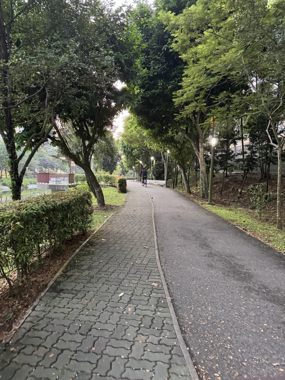
Featured image: a 2026 Punggol Riverside Walk photograph from the eduKatePunggol media library, illustrating the wider waterfront environment. This is not a photograph of the buried Lorong Halus engineering works in 2006.


