
Lorong Halus Dumping Ground officially closed on 31 March 1999. The next day, 1 April 1999, Semakau Landfill began operating offshore. This two-day transition is recorded in the Centre for Liveable Cities’ history of Punggol and confirmed by the National Environment Agency’s Semakau accounts. It ended nearly three decades of active dumping at Lorong Halus beside the Serangoon River.
The site matters to Punggol because it sits on the eastern bank of the Serangoon River, across the water from parts of Punggol’s developing waterfront. It is not accurate to call the former landfill a housing estate inside Punggol simply because visitors reach the wetland from Punggol today. The environmental and planning effects crossed the river long before today’s recreational connections existed.
The 1999 milestone was not the opening of Lorong Halus Wetland, nor did it magically remove the buried waste. The historic decision involved landfill capacity, incineration, the search for a replacement site and the planned conversion of northeastern land toward residential use. Cleaning and water-quality safeguards became later stages.
Contents: from mainland disposal to the offshore handover
- The two dates at the heart of the story
- Where Lorong Halus was, geographically
- The dumping ground was established in 1970
- What the 2.34 square kilometre figure describes
- What Singapore did with refuse before the change
- Why residents objected to the environment
- The first landfill alternative was not Semakau
- Why the offshore option was selected
- The project used the space between two islands
- How incineration changed the pressure on Lorong Halus
- Why a projected 1997 finish moved to 1999
- The crucial 1994–1999 construction window
- 31 March did not remove buried material
- Why the timing mattered for the future town
- A riverbank site affects more than one neighbourhood
- Where the environmental engineering chapter begins
- The site as a case study in shared government decisions
- What the word ‘capacity’ means in this history
- Why the wetland landscape should be described carefully
- The 1999 date in historical schoolwork
- Quick questions, answered without guessing
- Evidence and the next Punggol chapter
The two dates at the heart of the story
The first date is 31 March 1999: the closure of the mainland Lorong Halus Dumping Ground. The second is 1 April 1999: the start of operations at Semakau offshore sanitary landfill. The CLC report presents them as a linked transition, while NEA independently identifies the Semakau opening date.
Two adjacent dates do not imply that every truck, boat or waste category changed route at midnight in an identical way. The institutional milestones are precise; finer operational handover details require logs and transfer records. For a public timeline, the date pair is both memorable and fully supported without embellishment.
Where Lorong Halus was, geographically
Lorong Halus occupied land along the eastern bank of what is now Serangoon Reservoir. Earlier maps show the Serangoon River and a broader estuarine environment. Its location matters because pollution from waste on one riverbank can affect waters used or enjoyed far beyond an administrative boundary.
Calling it ‘Punggol’s landfill’ without qualification can confuse readers. It was located at Lorong Halus, next to the river and the wider Punggol–Serangoon waterfront system. Its closure was important to Punggol’s development and environmental recovery, but that relationship should be explained rather than treated as proof of being within the same town planning area.
The dumping ground was established in 1970
The site began operating as a dumping ground in 1970. CLC also traces the location to earlier municipal sludge disposal uses. It later received large quantities of refuse during a period of population growth and rising waste generation. It was not originally built as a modern family recreation wetland.
This chronology matters because labels change over time. A historical map saying ‘dumping ground’ and a contemporary map saying ‘wetland’ may refer to connected geographic space but very different management purposes. To read a site properly, put the date before attaching assumptions about access, cleanliness or environmental function.
What the 2.34 square kilometre figure describes
The CLC study describes the former Lorong Halus Dumping Ground as around 2.34 km². That is 234 hectares, or 2,340,000 square metres. The figure concerns the historic landfill area, not the later engineered wetland-treatment zone alone.
Comparing those dimensions can help pupils understand scale. It should not tempt anyone to assume that every square metre had the same type or depth of waste, or that the entire footprint was accessible to the public. The source establishes a broad area; subsurface distribution is a technical question needing separate data.
What Singapore did with refuse before the change
In earlier decades, a large share of waste was disposed of through landfilling. CLC reports that by 1982 almost half of the domestic waste produced in Singapore was being sent to Lorong Halus. That helps explain why the site became a major environmental and land-use issue for northeastern Singapore.
Such a percentage has a time boundary. It is not a claim about waste in 1999, 2026 or the future. Population, industrial activities, incineration capacity and collection arrangements changed over time. History becomes distorted when a statistic recorded in 1982 is copied into a present-day description without its year.
Why residents objected to the environment
The CLC history notes concerns about illegal dumping, odours, open fires and pollution around the site during the northeast’s urbanisation. These were not merely aesthetic complaints; they illustrated tensions between a waste-disposal function and the aspirations of households moving into a developing urban corridor.
It would be careless to claim that every smell or health complaint in Punggol arose from Lorong Halus. Multiple activities, including animal farming and other industries, affected the region’s environment at different times. The archive supports the existence of specific waste-related concerns, not a blanket diagnosis of every resident’s experience.
The first landfill alternative was not Semakau
In the early 1990s, the then Ministry of the Environment explored another dumping-ground location in Punggol. According to CLC, HDB regarded a new landfill there as incompatible with its intention to create an appealing waterfront residential community. The search for alternatives became urgent.
This is a crucial planning conflict. Singapore still needed somewhere for residual waste; stopping use of one site would not stop refuse arriving from homes and industry. HDB’s housing objectives and the environment authority’s disposal responsibilities had to be reconciled at a national rather than purely neighbourhood scale.
Why the offshore option was selected
With limited viable mainland space, planners explored an offshore landfill. Semakau was approved as a disposal site in 1994, according to the CLC study. A separate CLC account explains that engineers considered how to enclose sea space while limiting environmental harm.
The offshore decision carried its own ecological questions. Conservation interests and residents raised concerns about marine habitats and water quality. It would be inaccurate to present the choice as risk-free or universally welcomed. A complete history notes both the waste-management need and the environmental protection measures required to make the new facility work.
The project used the space between two islands
Semakau’s landfill was formed by joining Pulau Semakau and Pulau Sakeng with a perimeter bund about seven kilometres long. The enclosed area could then provide capacity for controlled disposal. NEA describes impermeable materials and marine clay used to protect the surrounding sea from leachate.
Those engineering features belong to Semakau’s offshore project, not to the historic Lorong Halus landfill. The two sites are linked by the 1999 transfer of the national disposal role, but their physical designs are different. A diagram should label each site separately before comparing its containment methods.
How incineration changed the pressure on Lorong Halus
Singapore expanded refuse incineration over the preceding decades. The first such plant at Ulu Pandan began operating in 1979; additional facilities followed. Burning suitable waste reduced the amount needing burial and allowed the landfill’s useful lifespan to stretch further.
Incineration does not make physical waste vanish without residue. Ash and non-incinerable material still need disposal. This is why a landfill remained necessary after Lorong Halus closed. The 1999 change was therefore a reorganisation of a system—waste collection, thermal treatment, transfer and final disposal—not the elimination of the landfill function.
Why a projected 1997 finish moved to 1999
CLC reports that Lorong Halus had been expected to fill by 1997, but the site’s lifespan was extended to 1999 partly because more refuse could be incinerated rather than buried. That two-year difference illustrates how infrastructure capacity can alter a disposal forecast.
Forecasts are not records of what ultimately happened. A dated prediction of ‘closed by 1997’ is not a contradiction of the later 31 March 1999 closure; it is an earlier projection superseded by observed conditions. Explaining that distinction is one of the most valuable tasks of good historical reporting.
The crucial 1994–1999 construction window
CLC dates Semakau’s approval to 1994 and NEA places its operation in April 1999. Between approval and opening, the offshore solution required engineering, environmental safeguards and arrangements for moving residual waste. The project therefore had a gestation period before it could accept material.
It is too simple to imagine that authorities closed one landfill and only then started looking for a replacement. The dates show overlapping preparation. In a complex system, the receiving location must be made ready before the existing location loses its disposal role. The same general principle helps explain staged handovers of ports, markets and transport depots.
31 March did not remove buried material
A closed dumping ground is still a place containing deposited waste. Closing operations changes how new refuse enters the site, but does not erase older material beneath the soil. Long-term processes can produce gases and contaminated water, depending on the waste and conditions.
That distinction matters at Lorong Halus because later engineering was needed to prevent leachate from affecting the Serangoon reservoir system. Readers must not equate ‘closed since 1999’ with ‘all contaminants removed in 1999’. The latter claim is not supported by the documented project history.
Why the timing mattered for the future town
Punggol had been designated for residential development in the 1991 Concept Plan, and the Punggol 21 vision was made public in 1996. Waste facilities and polluted watercourses were increasingly difficult to reconcile with a planned waterfront housing landscape.
The landfill’s closure did not instantly finish Punggol New Town; the town’s development experienced later economic and infrastructure delays. But moving the active disposal function out of the northeastern mainland was one piece of work necessary for the wider transformation. Housing, water and waste have linked timelines without sharing an opening date.
A riverbank site affects more than one neighbourhood
Serangoon River runs between developed and developing areas. Historical waste disposal on one bank can present a water-quality challenge for reservoirs and public spaces serving both banks. Geography here is more meaningful than administrative shorthand.
This is why Lorong Halus is a legitimate subject in the Punggol history series without relocating it into Punggol. The key relationship is hydrological and planning-related. Water travels across a connected catchment; a town label alone does not tell us where environmental impacts begin or end.
Where the environmental engineering chapter begins
Major work to intercept and manage landfill leachate was undertaken later, including a buried cut-off wall and wetland-treatment system. PUB describes Lorong Halus Wetland as a site that treats water passing through the former landfill to safeguard Serangoon Reservoir.
Those structures are a separate historical chapter from the 1999 disposal closure. The closure ended the site’s active use as a dump. The later works aimed to manage residual risks left behind. Confusing the two makes environmental rehabilitation look instantaneous when, in reality, it unfolded in stages.
The site as a case study in shared government decisions
The 1990s story included the environment authorities responsible for waste, planners and housing agencies concerned with future land use, and technical teams working on an offshore replacement. Different agencies had valid responsibilities that could not be satisfied by moving a line on a map.
The CLC study emphasises a coordinated response. That does not mean disagreement disappeared or ecological trade-offs were trivial. It shows why land-scarce cities must consider where activities are most appropriate and what will happen when the capacity of existing infrastructure runs out.
What the word ‘capacity’ means in this history
A landfill’s capacity is about the volume and management of waste it can safely accommodate—not merely its surface area. A broader landfill site can be close to its practical limit even if some surface appears unused. A new waste-to-energy plant can reduce inflow without changing the historic landfill’s footprint.
A school exercise might compare two hypothetical daily disposal rates and discuss how they would affect remaining operating years. The example must be clearly labelled hypothetical unless original data and units are supplied. We should never calculate a supposedly official exact closure date from an invented volume.
Why the wetland landscape should be described carefully
Today’s Lorong Halus Wetland is a managed landscape with biodiversity and education functions. It is not the same thing as an untouched remnant of the old estuary, nor is its vegetation proof that all waste underground has disappeared.
PUB’s explanation is more precise: water from the landfill is collected and treated to protect the reservoir. That purpose should come before decorative descriptions of a picturesque bridge. The beauty of a rehabilitated place is more meaningful when the ongoing engineering responsibility remains visible in the story.
The 1999 date in historical schoolwork
A strong response could read: ‘Lorong Halus Dumping Ground closed on 31 March 1999 after nearly three decades of waste disposal. Semakau Landfill began operating offshore the next day. This transition supported Singapore’s need for waste-management capacity while the northeast moved towards residential development.’
Then add a limitation: the 1999 closure did not complete environmental remediation. This separates event, significance and continuing problem in just a few sentences. It is a more reliable explanation than ‘Lorong Halus became a wetland in 1999’, which compresses later engineering and public-space development into the wrong year.
Quick questions, answered without guessing
Did dumping at Lorong Halus stop in 1999? The site officially closed on 31 March 1999. Where did the national disposal function go? Semakau opened on 1 April. Did incineration make a landfill unnecessary? No; ash and non-incinerable materials remained. Was the wetland created that day? No, it belongs to later rehabilitation work.
Is Lorong Halus in Punggol town? It lies east of the Serangoon River and affected the wider northeastern waterfront, including Punggol; it should not be relabelled as a Punggol housing precinct. Was the original 1997 closure forecast ‘wrong’? It was a forecast later extended by changing disposal conditions.
Evidence and the next Punggol chapter
The authoritative sequence is in Centre for Liveable Cities, Punggol: From Farmland to Smart Eco-Town (2021), printed page 24. Read the CLC account of planning Semakau Landfill and the NEA 20th-anniversary Semakau release for offshore development and opening dates. Current operations are described on the NEA Semakau page.
The PUB Lorong Halus Wetland explanation covers the later water-protection role. See also the Punggol environmental-rehabilitation overview, the river rehabilitation history, and the Punggol history directory. The next distinct milestone is the engineering undertaken to manage the closed landfill’s legacy.
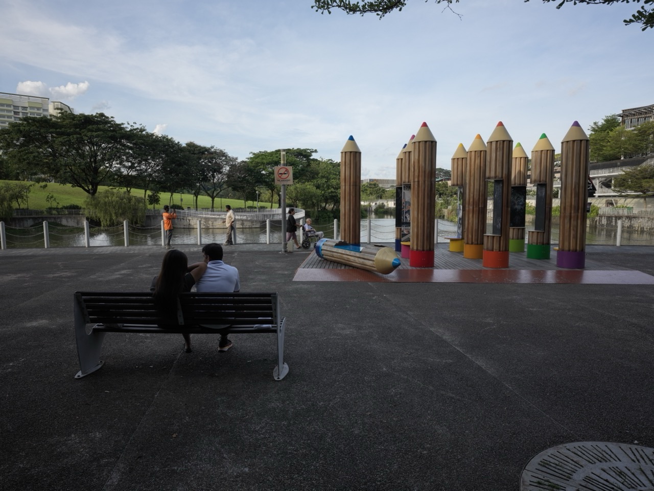
Featured image: a present-day view of water and public space at Punggol Waterway Park from the eduKatePunggol photo library. It is an illustration of the region’s later waterfront life, not an archival photograph of Lorong Halus in 1999.


