
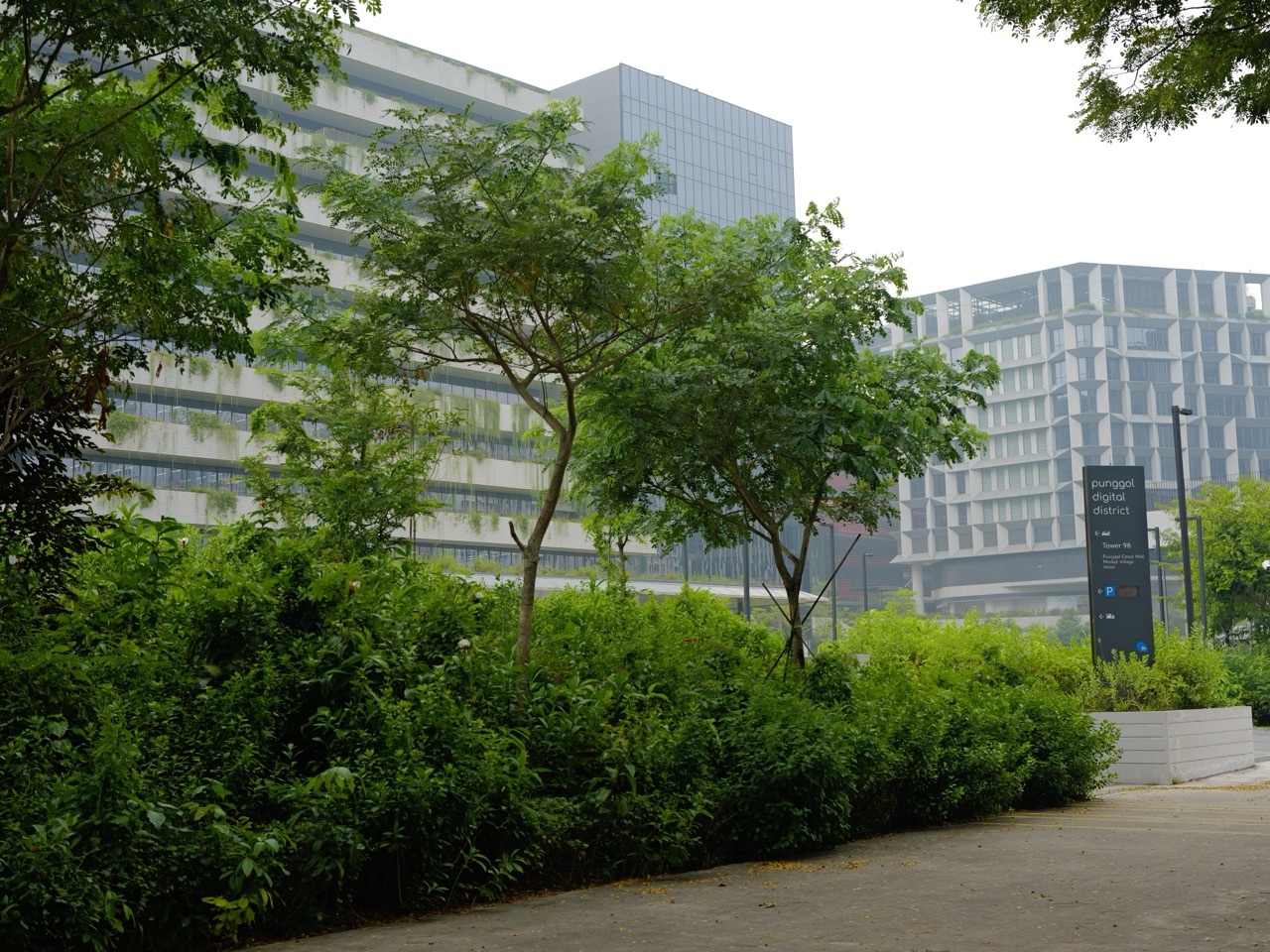
Quick answer — November 2026: Accessible navigation careers ask a practical question: can a person complete a journey using information that matches the real environment? Mapping may need to represent lifts, ramps, kerbs, sheltered links, temporary closures and suitable crossing points. Punggol’s connected neighbourhood is a useful case study, not a guarantee of local recruitment.
For 2027–2028, the best approach is to understand the work, verify current qualifications and check genuine employers. A plausible occupational trend is not a confirmed job forecast.
Why this career matters
A route that is shortest on a map may be unusable for someone who cannot take stairs. A lift marked on a map may be temporarily unavailable. Good navigation requires timely updates and meaningful descriptions rather than simply drawing a line.
The main jobs and responsibilities
- Accessibility mapper: records authorised route features and barriers
- Geospatial analyst: maintains spatial data and checks geometry
- Journey experience designer: tests directions with consenting users
- Operations coordinator: manages closure reports and update workflows
These functions can overlap, and employers may combine them in one position. Titles alone do not establish qualifications, salary, job availability or reporting location.
What could change in 2027 and 2028?
| Scenario | Potential implication | Evidence to monitor |
| More connected journey information | Greater need for accurate accessibility data | Actual deployed services and updates |
| Changes to transport or public space | Mapping and field validation work | Verified project contracts |
| Inclusive service expectations | User testing and plain-language directions | Employer roles and standards |
These scenarios are conditional. Some employers may train existing employees or engage vendors instead of creating new positions. Check real job advertisements before deciding that a particular occupation is growing in Punggol.
A worked example
A fictional route A is 500 metres but includes stairs; route B is 650 metres with a verified step-free path. The extra distance is 150 metres, or 30% longer than route A. Neither route is automatically suitable: gradient, surface condition, lift availability and user preferences still matter.
The figures in this example are invented for learning. Real professional decisions require measured evidence, appropriate standards and explicit consideration of uncertainty.
Skills and education routes
Geography, GIS, accessible design, clear writing, data validation and respectful user research.
| Starting point | Practical next step |
| Secondary school | Strengthen English, Mathematics, relevant Science and evidence-based reasoning |
| ITE or polytechnic | Check recognised technical courses and supervised practical attachments |
| University | Investigate specialist study, research methods and professional obligations |
| Mid-career | Compare transferable experience with actual job requirements before retraining |
A safe portfolio exercise
Design a fictional two-route map using invented locations. Add fields for step-free access, gradient, shelter and update timestamp. Ask consenting readers to explain which route they would choose and why; never claim the map reflects actual lift availability.
Safety and ethical boundaries
Do not send users through unverified paths or represent a student map as official transport guidance. Avoid collecting identifiable mobility or health information unnecessarily.
Four-week career investigation
- Week 1: Identify three authentic vacancies and compare the exact duties, employer and reporting location.
- Week 2: Read the relevant official standards and list skills you already have versus skills you lack.
- Week 3: Complete a small original work sample using fictional or public information and document limitations.
- Week 4: Obtain suitable feedback, check course recognition and compare training costs with household affordability.
Frequently asked questions
Are 2027 Punggol vacancies confirmed? This article does not establish a local vacancy count. Verify current employer advertisements and their reporting locations.
What is a common misconception? Can AI generate an accessible route by itself? It may assist, but current conditions and suitability need trusted data and user-centred validation.
Will AI replace the work? Some routine tasks may change, but adoption, professional responsibility and employment outcomes vary. No exact local replacement percentage is supported.
Should I enrol immediately? First verify job prerequisites, professional requirements, course recognition and financial implications.
Official information and connected Punggol reading
- LTA: official sector information
- MyCareersFuture: current vacancies
- MOM: employment terms
- Punggol Career: retraining and income risks
What to remember
A useful forecast is not a promise. It helps residents identify real problems, develop demonstrable skills and make informed choices from verified opportunities.


