
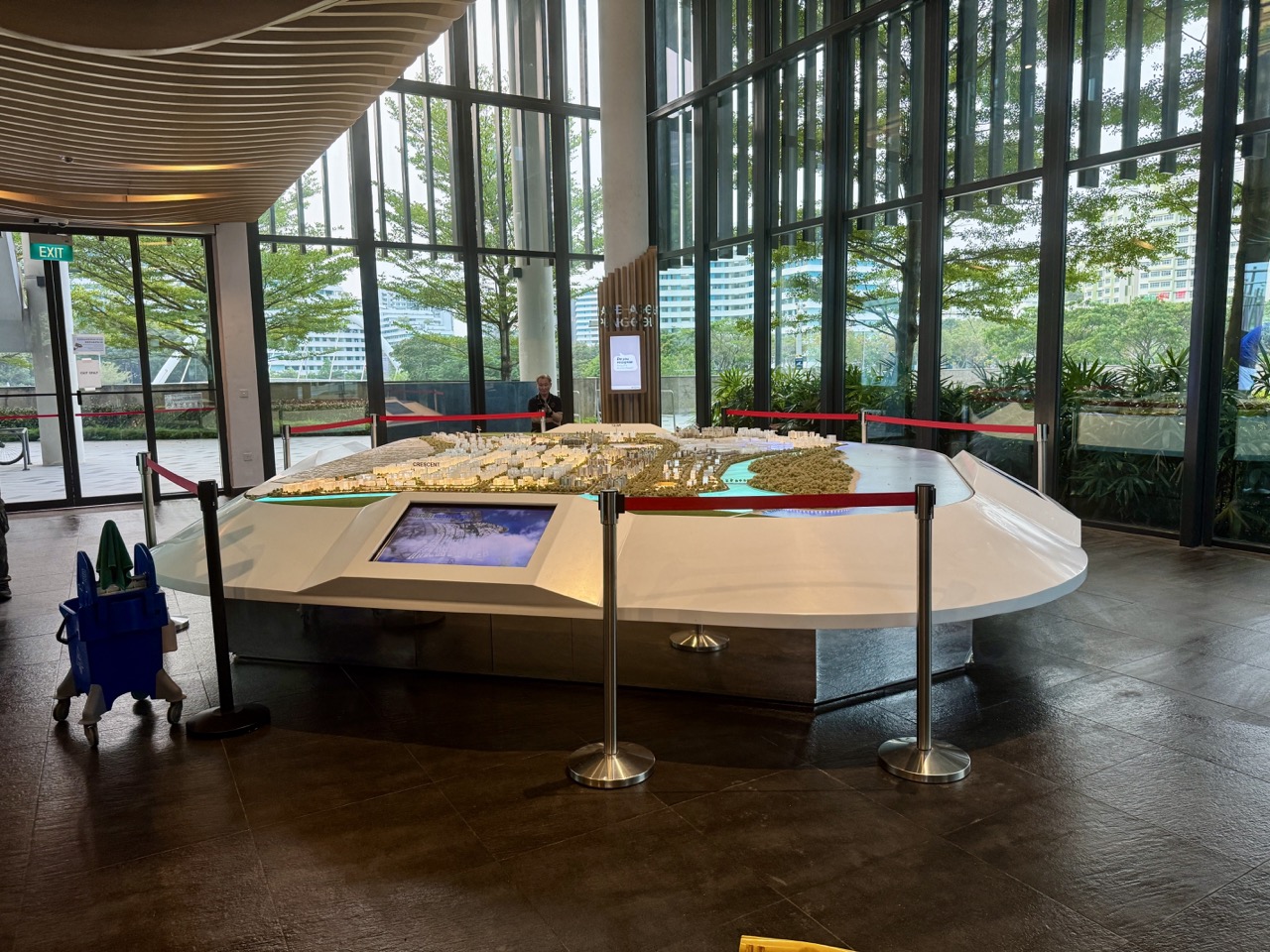
Punggol Education 2027 geospatial mapping, surveying and Geographic Information Systems (GIS) courses link the Geography and Mathematics pupils study at school with the ways professionals measure and understand the real world. A map may look straightforward, yet behind it are coordinate systems, spatial data, measurement uncertainty, fieldwork, digital analysis and decisions about how a place should be used. A child who loves exploring Punggol’s waterway might find a future in surveying, civil engineering, geography or environmental analysis—but those are different academic and professional routes.
Did you know? Singapore Polytechnic’s Diploma in Civil Engineering has a 90-hour Geomatics module teaching total stations, levelling, GNSS/GPS receivers, CAD and GIS, including underground and hydrographic surveying. ITE offers a 24-month Higher Nitec in Civil & Structural Engineering Design and a separate 24-month Technical Engineer Diploma in Civil & Structural Engineering which explicitly teaches Engineering Surveying. At University level, NTU’s Environmental Earth Systems Science module ES2802: GIS and the Earth System teaches open-source GIS, digital maps and geospatial analysis. These are actual components of named qualifications, not evidence of a new standalone ‘GIS Diploma at Punggol’.
This Punggol Education 2027 guide explains how Primary, Secondary G1/G2/G3, ITE, Polytechnic, JC and University students can build spatial reasoning. It compares course purposes, real entry requirements, 2027/2028 admissions changes, safe mapping projects and professional boundaries. Parents should distinguish enjoying digital maps from being qualified to certify land boundaries or prepare a statutory survey.
Quick answer: what is GIS and how is it different from surveying?
| Field | Typical work | Main skills |
|---|---|---|
| Land and engineering surveying | Measure and locate positions, levels and infrastructure features | Geometry, equipment, quality control |
| Geomatics | Capture, process and present spatial data for engineering use | Coordinates, measurement, CAD and GIS |
| GIS analysis | Organise map layers, query data and analyse spatial patterns | Data, statistics, geospatial reasoning |
| Remote sensing | Use observations from sensors or satellite imagery to study places | Physics, image analysis, uncertainty |
| Urban planning | Compare land use, services, movement and community impact | Policy, mapping, stakeholder reasoning |
| Environmental science | Investigate habitats, coastal change, land and water systems | Field observation, ecology, GIS and evidence |
A surveyor may collect precise coordinates under formal procedures. An analyst might study patterns in public datasets. A planner weighs competing human uses of land. An environmental scientist asks why features change. Software tools overlap, but the roles and qualifications differ.
Why Punggol is a useful place to learn spatial reasoning
Punggol’s LRT tracks, waterway, public spaces, parks and changing neighbourhood provide visible examples of how movement, access and environmental constraints influence spatial decisions. Families can examine public maps and ask how an estimated route differs from straight-line distance, how a scale works or what an official development map actually depicts.
But a public map is not a survey plan proving a property boundary. Satellite imagery may be old, GPS positions have uncertainty, and proposals may change before construction. Punggol residents should check authoritative government information and avoid claiming that a hand-drawn map establishes ownership, statutory zoning or an engineering clearance.
Primary school: scale, position, proportion and explanation
Primary Mathematics develops measurement, ratio, shape, coordinates, fractions and graph reading. English is necessary to explain a route, describe a location clearly and communicate uncertainty. Science supports observation about physical and natural environments.
Imagine a fictional neighbourhood map with a scale of 1 cm representing 200 metres. A line from point A to point B measures 6 cm. The represented straight-line distance is 1,200 metres. This is a mathematics exercise, not an actual walking distance between Punggol landmarks. Real travel depends on available paths, crossing points, entrances and restrictions.
Ask a child what further information would be needed before giving a visitor directions. The answer may include accessible paths, slopes, bridge entrances and route conditions. This encourages careful reasoning rather than copying a number from a map without context.
Secondary G1/G2/G3: Geography is not separate from Mathematics
Under Full Subject-Based Banding, students may offer academic subjects at General levels G1, G2 or G3. The first SEC graduating cohort completes its national examinations in 2027 and follows a new post-secondary exercise from 2028. A pupil applying in 2027 using 2026 GCE O-Level results is covered by different applicable admissions rules.
Geography helps students interpret spatial patterns and human-environment interactions. Mathematics helps with scale, geometry, functions, vectors, data and uncertainty. Science helps explain land, water and ecosystems. Computing can assist with GIS, but is not an automatic prerequisite for every related Polytechnic course; official entry conditions are course-specific.
A learner can connect this to the Punggol Architecture and Planning guide. Both use spatial knowledge, but the current article focuses on gathering and analysing accurate location data rather than only designing a built structure.
ITE’s Civil & Structural Engineering Design Higher Nitec
ITE’s Higher Nitec in Civil & Structural Engineering Design is a 24-month full-time programme at ITE College East. It teaches Building Information Modelling (BIM), CAD drawings, plans and schedules for beams, slabs, columns, roads, drainage and foundations, as well as coordination with engineers to resolve technical discrepancies.
This is not described by ITE as a dedicated GIS qualification. It offers technical drawing and built-environment foundations that may interest a learner exploring geospatial work. Applicants must check its published minimum English, Mathematics and approved subject requirements for the correct qualification pathway.
ITE separately lists a 36-month programme for a different entry profile. Students should read the accepted examination qualification and duration before planning their course. ITE states that eligible relevant Higher Nitec graduates with net GPA of 2.5 or above may apply for related Polytechnic diplomas from AY2027, subject to mapping and selection.
ITE Technical Engineer Diploma with Engineering Surveying
ITE’s Technical Engineer Diploma in Civil & Structural Engineering is a 24-month full-time Diploma at ITE College East. Its published subjects include Engineering Surveying, BIM and 2D CAD, Digital Construction and Project Management, Design for Manufacturing and Assembly and civil and structural design principles.
The current entry criteria are not simply ‘any Secondary student who enjoys Geography’. ITE lists accepted Higher Nitec qualifications at minimum GPA 2.0 and certain Nitec routes at GPA 3.0, plus specified applicant categories and possible work-experience routes. Shortlisted candidates take an interview and aptitude assessment.
A student with a relevant Higher Nitec may investigate this applied Diploma, while a fresh Secondary applicant will likely need to first establish the appropriate earlier qualification. The programme prepares for technical work; it is not automatically registration to perform legally certified cadastral survey functions.
Singapore Polytechnic Civil Engineering: a concrete GIS-related diploma
The SP Diploma in Civil Engineering has an explicit 90-hour Geomatics module. SP’s description includes point location, levelling, reference-mark establishment through traverse surveys, Total Stations, automatic/digital levels and Global Positioning System receivers. Students use CAD and GIS to analyse or present acquired data, including introductory underground and hydrographic survey topics.
This is a strong example of how spatial work sits within a larger Civil Engineering qualification. The student also learns structural mechanics, concrete design, site practice, safety, project management, technical drawing and other engineering subjects. A pupil who likes maps but strongly dislikes engineering Mathematics should understand those demands before applying.
SP describes opportunities for 22-week or longer industry internships depending on the programme structure, and practical facilities such as a Geomatics Lab. An internship is an organised learning opportunity, not a guarantee of a particular employer assignment. Applicants must read the actual 2027 course page and accepted prior qualifications.
University GIS: NTU Environmental Earth Systems Science
NTU’s Asian School of the Environment undergraduate course listing includes ES2802: GIS and the Earth System, a three-academic-unit module. Its syllabus describes using open-source GIS to import and export data, produce scientific-grade maps and conduct geospatial analyses for environmental and Earth science applications.
The programme also links GIS thinking to urban planning, landscape architecture, scientific research and the relationship between ecosystems and society. This is a named module within a University programme, not a stand-alone degree called GIS at Punggol. Students should check the current NTU degree admission route and the related Science and Mathematics expectations.
University Geography and environmental disciplines may use GIS differently from Civil Engineering. A child interested in people and cities may prefer geography and planning analysis; a pupil drawn to physical systems may prefer engineering surveying. The same tool can support multiple research questions.
GIS is not the same as official land-surveyor accreditation
An amateur map, public-data analysis or student GIS project is not a statutory survey. Professional survey work affecting property boundaries and official records may require specific authorised professionals and regulatory compliance. A family should not describe a Polytechnic graduate or University GIS student as automatically licensed to certify legal boundaries.
The correct process for any real property survey or disputed boundary involves the relevant qualified professional and official agencies. A school project can safely analyse public maps without making an ownership or legal determination. Explain these boundaries before a student uses an advanced mapping tool and assumes its output is legally authoritative.
A worked GIS exercise: why coordinate accuracy matters
Imagine a fictional spatial dataset with two points 100 metres apart according to a simplified drawing. If an instrument reading has a location uncertainty of several metres and the map itself is approximate, a student cannot claim that a property line or a narrow underground service corridor lies exactly where the line is drawn. Measurement error and coordinate reference systems matter.
A separate statistical example uses a hypothetical map with 40 surveyed public trees across four evenly sized sample sections. Ten per section is an average; it does not prove that every section really has ten trees. A responsible GIS analyst checks distribution, collection time and data quality rather than equate the mean with an exact local count.
A six-week Punggol map-learning portfolio
- Week 1: choose a safe public question about access to neighbourhood facilities.
- Week 2: locate an authorised public map or open geospatial dataset and document its publisher and date.
- Week 3: explain the map’s scale, legend and coordinate assumptions.
- Week 4: compare two hypothetical or permitted routes, accounting for actual pedestrian connections rather than straight lines alone.
- Week 5: make a labelled thematic map using suitable educational software and acknowledge uncertainty.
- Week 6: write a short report distinguishing observation, estimate, design proposal and official land-use policy.
Do not publish exact private household locations, enter restricted construction sites, collect data about children’s daily routes without permission, or interfere with survey instruments. Good spatial work respects privacy and safety.
What to do, what not to do and what to think about
Do
- Distinguish surveying, engineering geomatics, GIS analysis, environmental science and urban planning.
- Build Mathematics, Geography, Science and precise language skills at Primary and Secondary levels.
- Read ITE Civil & Structural Engineering Design as a technical foundation, not a fabricated GIS degree.
- Check the ITE Technical Engineer Diploma’s prior-qualification and GPA conditions.
- Inspect SP Civil Engineering’s actual Geomatics module and wider engineering demands.
- Consider NTU environmental GIS study when the student prefers ecological and scientific analysis.
- Use public datasets with clear sources, dates, definitions and privacy safeguards.
Do not
- Claim Punggol has a stand-alone GIS University degree without verifying the provider.
- Treat public maps or student diagrams as certified boundary surveys.
- Assume a 2026 JAE aggregate is a guaranteed 2027 or 2028 entry score.
- Describe the ITE Technical Engineer Diploma as automatic direct entry from any Secondary profile.
- Publish identifiable private locations or restricted infrastructure data as a school portfolio.
- Assume a GPS coordinate has no measurement error.
- Interpret an announced planning proposal as a completed estate development.
Think about
Does the learner enjoy measurement precision, interpreting patterns or explaining how people use space? Do they want to operate instruments, build engineering infrastructure, study habitats or communicate a planning decision? Mapmaking is useful when the question is clear and the evidence is honestly bounded.
Frequently asked questions
Does SP Civil Engineering teach GIS and surveying?
Yes. Its Geomatics module covers field survey methods, GPS/GNSS equipment, CAD and GIS analysis, alongside other Civil Engineering subjects.
Is ITE’s Civil & Structural Technical Engineer Diploma direct entry for all O-Level students?
No. ITE’s current listing specifies recognised prior ITE qualifications or other eligible experience-based arrangements and an interview and aptitude assessment.
Does a Geomatics module make a graduate a certified land surveyor?
No. Professional authority for formal survey tasks is separate from studying a module. Check applicable regulatory requirements for the exact work.
Does NTU have a GIS course linked to environmental science?
Yes. NTU’s Asian School of the Environment lists ES2802 GIS and the Earth System, involving open-source mapping and spatial analysis.
Can a Primary pupil begin studying GIS?
A pupil can practise maps, scale, coordinates, careful observation and appropriate digital literacy without claiming expert competency or collecting sensitive location data.
Official sources and related Punggol guides
- ITE Civil & Structural Engineering Design Higher Nitec.
- ITE three-year Civil & Structural Engineering Design.
- ITE Technical Engineer Diploma — Engineering Surveying.
- SP Civil Engineering — Geomatics and GIS.
- NTU Asian School of the Environment: GIS and Earth System.
- MOE CourseFinder — admission pathway information.
- Punggol Architecture, BIM and Urban Planning — related subjects.
- Punggol Education & Town-Life Article Index.
Research verified 28 October 2026. GIS, engineering surveying and statutory surveying have different professional roles. Actual 2027–2028 entry rules, programme availability and qualifications must be checked directly with ITE, SP, NTU and the competent regulatory authority.


